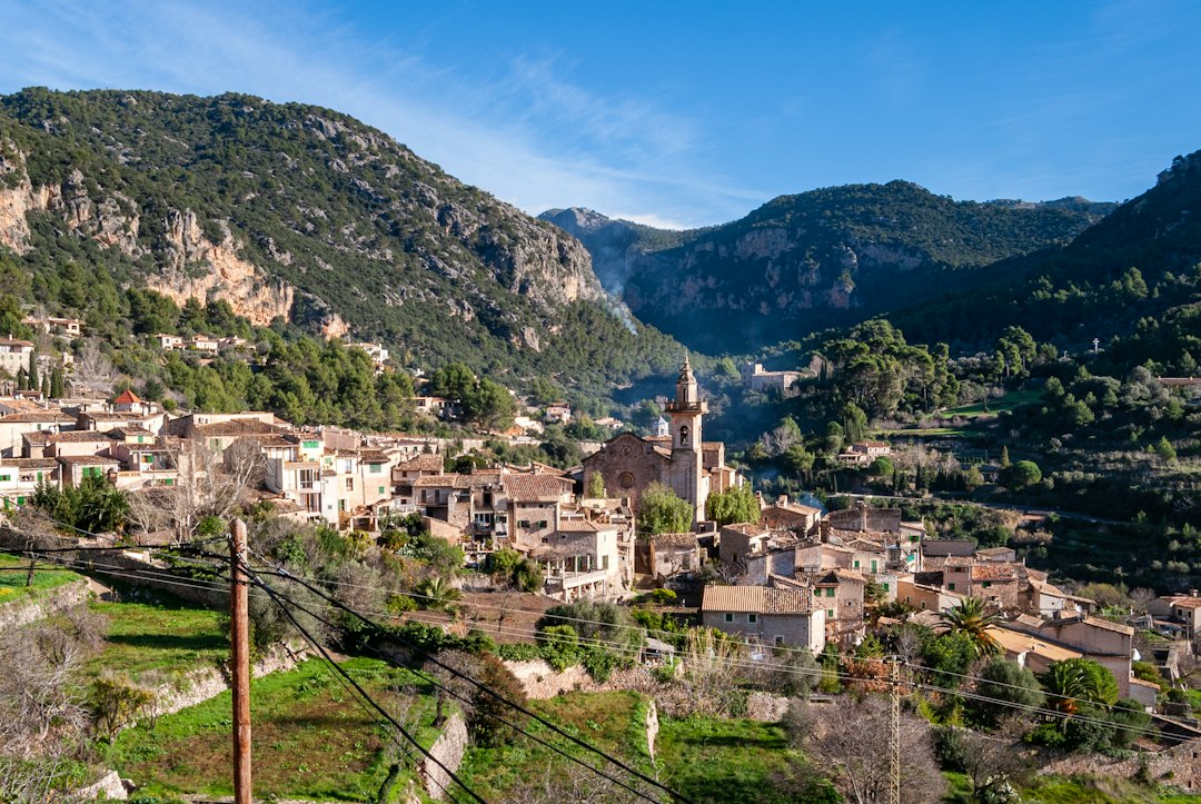
Ávila province offers far more than the famous walls of Ávila city. Its landscape changes from the flat cereal country of La Moraña to the high mountains of Gredos, the pine and reservoir country toward Madrid and the milder Valle del Tiétar in the south.
Before heading into the province, see our Ávila city guide for the walls, cathedral, Saint Teresa sites and a practical one-day route.
If you are deciding how Ávila fits into a longer route, our Spain travel guide compares inland Castile with Madrid, Barcelona, Tenerife, Málaga and Cantabria and helps you choose a realistic combination.
The official tourism organization divides the province into five main tourism areas: La Moraña; Valle Amblés and Sierra de Ávila; Valle del Tormes and Corneja/Gredos Norte; Valle Alberche and Tierra de Pinares; and Valle del Tiétar/Gredos Sur. Using those regions is a practical way to plan a road trip rather than jumping randomly between towns.
See the official tourism map of Ávila province.
Ávila province by region
| Area | Best for | Useful bases/stops |
|---|---|---|
| La Moraña | Mudéjar heritage, plains, historic towns | Arévalo, Madrigal de las Altas Torres |
| Valle Amblés & Sierra de Ávila | Ávila city, central heritage, plateau landscapes | Ávila, Muñana, Solosancho |
| Tormes & Corneja / Gredos Norte | Mountains, hiking, wildlife | El Barco de Ávila, Piedrahíta, Hoyos del Espino |
| Alberche & Tierra de Pinares | Forests, reservoirs, wine, outdoor activities | Cebreros, El Tiemblo, Navaluenga |
| Tiétar / Gredos Sur | Milder climate, villages, caves, southern Gredos | Arenas de San Pedro, Candeleda, Sotillo |
Ávila city: start with the walls, then go beyond them
The UNESCO-listed old city and medieval walls justify a full day for first-time visitors. Add the cathedral, historic squares and viewpoints rather than treating the city as a one-hour photo stop.
La Moraña and Arévalo
North of the capital, La Moraña is flatter and culturally distinct from Gredos. Arévalo is a natural anchor for Mudéjar architecture, brick churches and local food. The provincial tourism office highlights the city’s historic streets, towers, bridges and roast-lamb and suckling-pig tradition.
See the official Arévalo tourism guide.
Gredos Norte: mountains and highland villages
The Valle del Tormes and Corneja area includes the northern face of Sierra de Gredos and is particularly relevant for hiking, mountain scenery, wildlife and highland villages. Hoyos del Espino is a common access point for Gredos routes; El Barco de Ávila and Piedrahíta add historic-town stops.
El Barco de Ávila
This western town can work as a base for the Tormes valley and western Gredos. Combine its historic core with mountain or valley travel rather than driving there only for a quick stop.
Piedrahíta
Piedrahíta is compact enough to explore slowly and sits in a broad mountain landscape. It fits naturally into a route between Ávila, the Corneja valley and western Gredos.
Valle Alberche and Tierra de Pinares
East of the capital, this region is especially useful for travelers coming from or returning toward Madrid. The official provincial guide highlights the Valle de Iruelas reserve, river/reservoir recreation, outdoor activities and the wine area around Cebreros.
Navalperal de Pinares and the eastern highlands
Navalperal de Pinares sits in this quieter eastern side of the province. The broader area works better for forests, reservoirs, walking and small-town routes than for a dense checklist of monuments.
Valle del Tiétar and Gredos Sur
The southern side of Gredos has a noticeably milder climate than the plateau. The official provincial tourism site highlights Arenas de San Pedro, the Cuevas del Águila, Candeleda and villages such as El Arenal, El Hornillo and Guisando.
Arenas de San Pedro
Arenas is one of the strongest bases in southern Ávila. It combines historic architecture with access to the Cuevas del Águila, natural pools and Gredos scenery. The provincial tourism office describes it as the main town of the lower Tiétar valley.
See the official Arenas de San Pedro guide.
How many days do you need?
- 1 day: Ávila city only, or one specific regional route.
- 2 days: Ávila + one region such as Gredos Norte or La Moraña.
- 3–4 days: enough for city + mountain region + a second contrasting area.
- 5+ days: realistic for a broader provincial road trip without constant driving.
Two sample routes
History + mountains, 3 days
Day 1: Ávila city. Day 2: Piedrahíta + El Barco de Ávila. Day 3: Gredos Norte/Hoyos del Espino with a walk suited to conditions.
East + south, 3 days
Day 1: Cebreros/El Tiemblo or Alberche landscapes. Day 2: Arenas de San Pedro + Cuevas del Águila. Day 3: Tiétar villages or a Gredos Sur route.
Driving and seasonal conditions
A car gives much more flexibility because public transport between rural areas is limited. Mountain conditions can change quickly, and winter weather may make apparently short road distances slower. Check road and weather information before highland routes.
What to eat
Food changes across the province. Look for local beans, roast meats, regional cheeses, pastries and wines from the Cebreros area. Build meal stops into the route rather than treating them as an afterthought.
Use official local planning information
The Diputación de Ávila official tourism site publishes routes, municipalities, hiking ideas, gastronomy and trip-planning information across the province.
For wider Spain inspiration, see our Spain Travel Bucket List.
Last reviewed: September 2026.